
|
EDITION: Watauga County
▼
|
► FAQs ► PLACE A CLASSIFIED AD ► ADVERTISE YOUR BUSINESS |
|
51 °
Drizzle
|
|
Watauga County's Weather & Forecast
5 Day Forecast
Today
Slight Chance Showers then Partly Sunny High: 63 °F
Tonight
 Mostly Cloudy Low: 51 °F
Sunday
 Mostly Sunny High: 72 °F
Sunday
Night  Mostly Clear Low: 51 °F
Monday
 Sunny High: 75 °F
Monday
Night Mostly Clear Low: 52 °F
Tuesday
 Showers Likely High: 67 °F
Tuesday
Night Showers Likely then Mostly Clear Low: 55 °F
Wednesday
Sunny High: 77 °F
Today A slight chance of showers before 11am. Partly sunny, with a high near 63. South wind 5 to 14 mph. Chance of precipitation is 20%. Tonight Mostly cloudy, with a low around 51. South wind around 10 mph. Sunday Mostly sunny, with a high near 72. South wind around 9 mph. Sunday Night Mostly clear, with a low around 51. South wind 7 to 9 mph. Monday Sunny, with a high near 75. West wind 6 to 10 mph becoming south in the afternoon. Monday Night Mostly clear, with a low around 52. Tuesday A chance of showers, then showers likely and possibly a thunderstorm after 2pm. Partly sunny, with a high near 67. Chance of precipitation is 60%. Tuesday Night Showers likely and possibly a thunderstorm before 8pm. Partly cloudy, with a low around 55. Chance of precipitation is 60%. Wednesday Sunny, with a high near 77. Wednesday Night Partly cloudy, with a low around 54. Thursday A chance of showers. Mostly sunny, with a high near 76. Chance of precipitation is 40%. Thursday Night A chance of showers. Partly cloudy, with a low around 56. Chance of precipitation is 30%. Friday Showers likely and possibly a thunderstorm. Partly sunny, with a high near 75. Chance of precipitation is 60%.
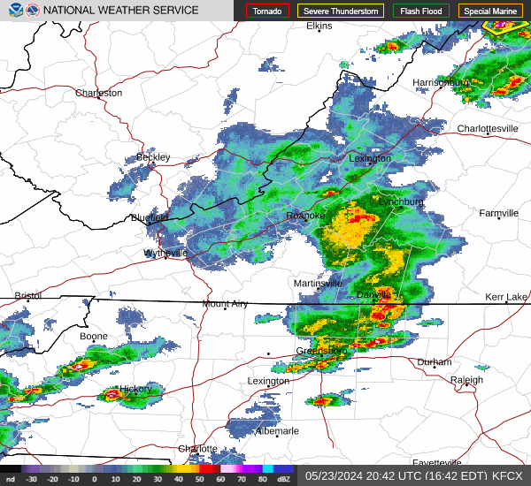
Weather Map for Watauga County, North Carolina
|
WalMart.com 4
linksynergy.walmart.com/fs-bin/click?id=juhgZGlSbyY&offerid=223073.10013461&type=3&subid=0
Introducing FREE 2-Day Shipping at Walmart.com!
Feeling lucky? Enter to win an Ireland Vacation
msmithey.dreamvacations.com/contest
Are you dreaming of the Emerald Isle? Enter for a chance to win a 5-day Ireland vacation with CIE Tours, and let us help you get a taste of Ireland’s stunning beauty!
|


